File:Amu darya river.jpg: Difference between revisions
Jump to navigation
Jump to search
imported>Howard C. Berkowitz ({{Image notes |Description=False color (into infrared) image of Amu Darya River |Author=NASA Jet Propulsion Laboratory |Date=June 2002 |Source=http://eosweb.larc.nasa.gov/HPDOCS/misr/misr_images/amu_darya_river.jpg |Country first published in=US |Copyright holder=US govt |Notes=Multi-angle Imaging SpectroRadiometer (MISR) photo, 292 kilometers x 370 kilometers. Data from the near-infrared, red and blue spectral bands of MISR's downward-viewing (nadir) camera are displayed as red, green and bl...) |
(== Summary == Importing file) Tag: Server-side upload |
||
| (3 intermediate revisions by one other user not shown) | |||
| Line 1: | Line 1: | ||
== Summary == | == Summary == | ||
Importing file | |||
Latest revision as of 19:53, 11 March 2022
Summary
Importing file
File history
Click on a date/time to view the file as it appeared at that time.
| Date/Time | Thumbnail | Dimensions | User | Comment | |
|---|---|---|---|---|---|
| current | 19:53, 11 March 2022 | 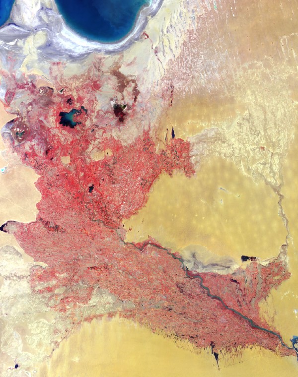 | 600 × 760 (151 KB) | Maintenance script (talk | contribs) | == Summary == Importing file |
You cannot overwrite this file.
File usage
The following page uses this file: