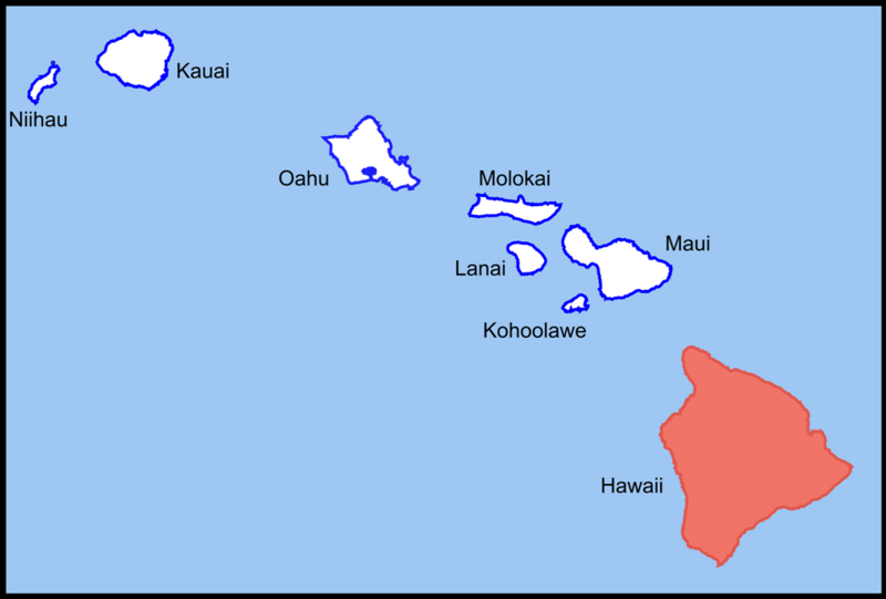
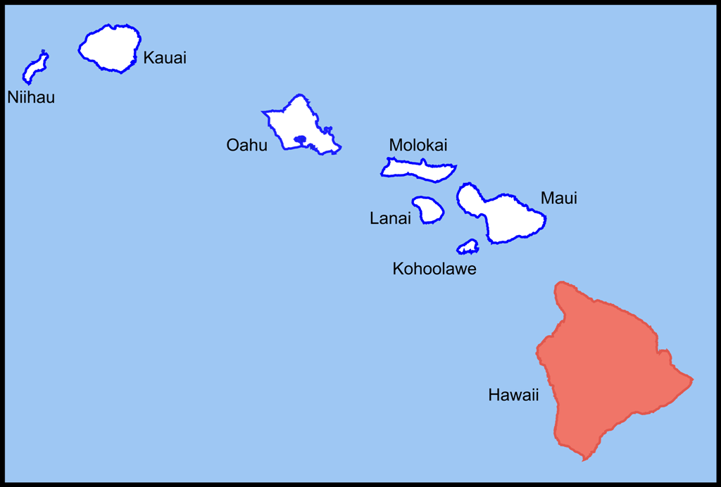
File:Hawaii Island location (Southeastern Islands).png
Jump to navigation
Jump to search
Size of this preview: 800 × 541 pixels. Other resolution: 1,024 × 692 pixels.
Original file (1,024 × 692 pixels, file size: 80 KB, MIME type: image/png)
.png)
Summary
| Description | |
| Date | |
| Source | Own work |
| Author | D kuba |
Licensing
| I, the copyright holder of this work, release this work into the public domain. This applies worldwide. In some countries this may not be legally possible; if so: I grant anyone the right to use this work for any purpose, without any conditions, unless such conditions are required by law. |
File history
Click on a date/time to view the file as it appeared at that time.
| Date/Time | Thumbnail | Dimensions | User | Comment | |
|---|---|---|---|---|---|
| current | 14:22, 10 December 2007 | | 1,024 × 692 (80 KB) | imagescommonswiki>D kuba | {{Information |Description=Hawaii Island location |Source=own work |Date=10.12.2007 |Author=D kuba |Permission= |other_versions= }} |
File usage
The following file is a duplicate of this file (more details):
.png)
- File:Hawaii Island location (Southeastern Islands).png from Wikimedia Commons
The following page uses this file:
.png)