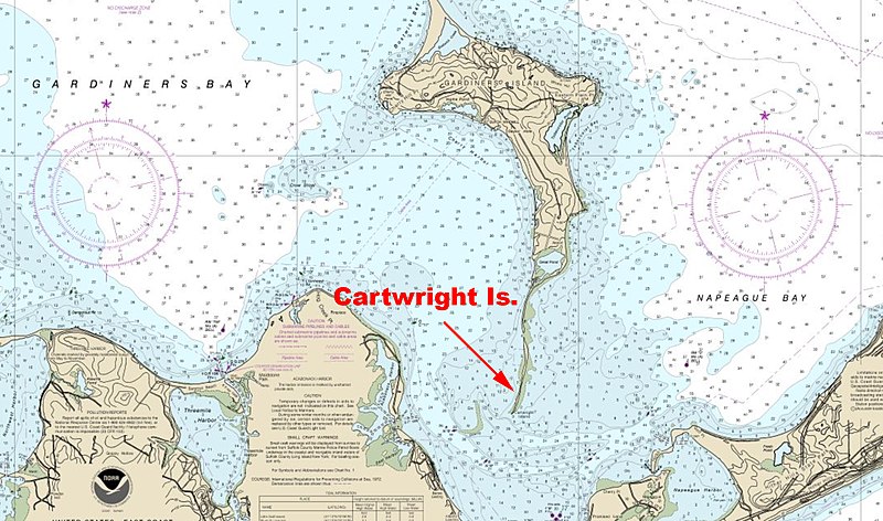
File:NOAA map of Gardiners Bay, Gardiners Island and small narrow Cartwright Island.jpg
Jump to navigation
Jump to search

Size of this preview: 800 × 472 pixels. Other resolution: 2,158 × 1,274 pixels.
Original file (2,158 × 1,274 pixels, file size: 1.25 MB, MIME type: image/jpeg)
Summary
| Description | ||||
| Date | Unknown date | |||
| Source | https://newenglandboating.com/3-rescued-after-boat-catches-fire-on-gardiners-bay/ | |||
| Author | NOAA | |||
| Permission (Reusing this file) |
|
File history
Click on a date/time to view the file as it appeared at that time.
| Date/Time | Thumbnail | Dimensions | User | Comment | |
|---|---|---|---|---|---|
| current | 23:24, 14 September 2020 | | 2,158 × 1,274 (1.25 MB) | imagescommonswiki>Geo Swan | {{Information |Description={{en|1=NOAA map of Gardiners Bay, Gardiners Island and small narrow Cartwright Island.}} |Source=https://newenglandboating.com/3-rescued-after-boat-catches-fire-on-gardiners-bay/ |Date=unknown |Author={{w|NOAA}} |Permission={{PD-NOAA}} |other_versions= }} Category:Cartwright Island Category:Gardiners Island Category:Gardiners Bay |
File usage
The following file is a duplicate of this file (more details):
- File:NOAA map of Gardiners Bay, Gardiners Island and small narrow Cartwright Island.jpg from Wikimedia Commons
The following page uses this file: